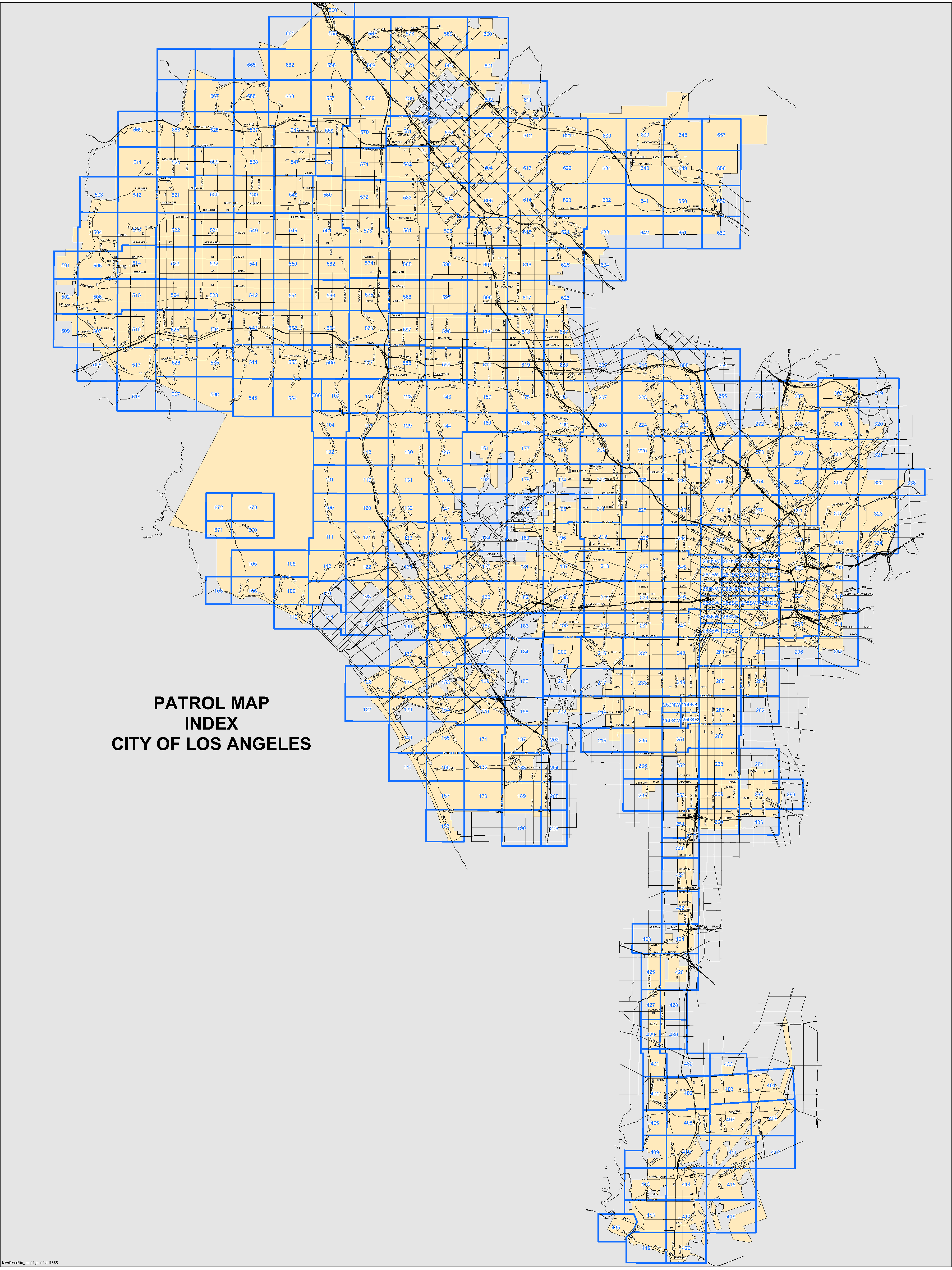
Patrol Map
Below is an interactive map of the City of Los Angeles streetlighting patrol areas.
How to Use the Patrol Map Index
- To download a detailed PDF: please select a numbered grid square.
- Keyboard Navigation: Use the Tab key to move between grid squares and press Enter to download.
- Grid Identification: Squares are numbered (e.g., 500, 555, or 567). Click the number to initiate the download.
- Availability: Please note that some areas, such as 661, do not currently have a downloadable file